(2 votes, average: 4.50 out of 5)
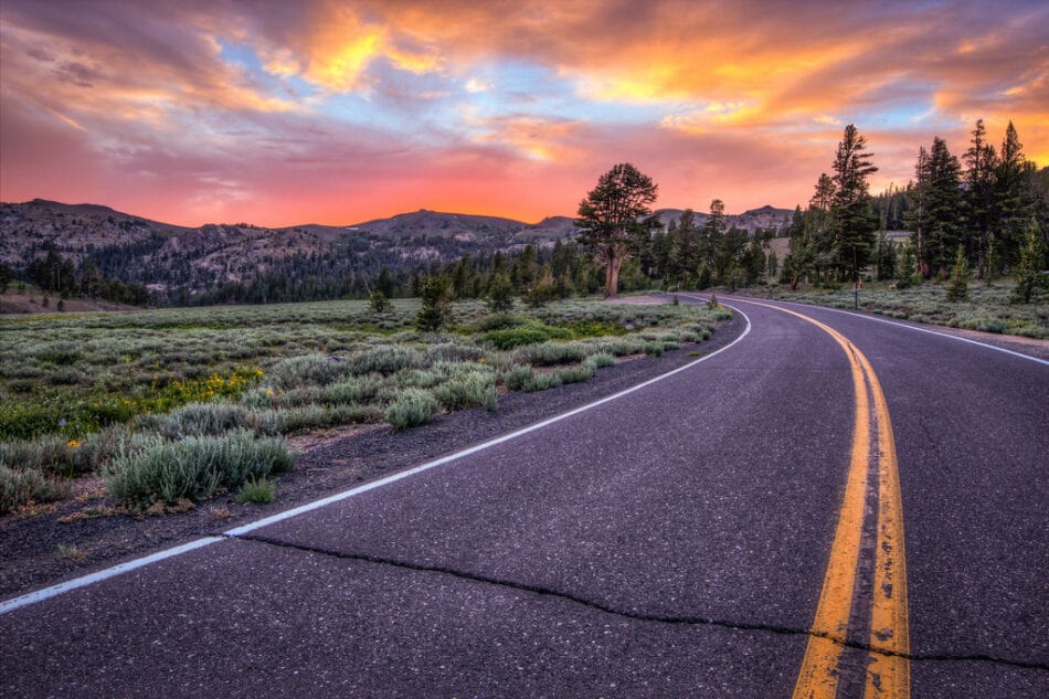
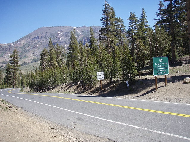
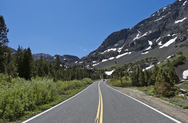
Sonora Pass is a high mountain pass in the Sierra Nevada mountains of California, United States. It is located at an elevation of 9,633 feet (2,933 meters) and is the second-highest pass in the Sierra Nevada, after Tioga Pass. Sonora Pass is part of California State Route 108 and is located within Yosemite National Park.
| Name | Sonora Pass |
| Location | Mono County, California, United States |
| Sonora Pass Elevation | 3,030 meters (9,941 fee) |
| Gradient | Average 8%, Maximum 26% |
| Open | From May to November |
| Coordinates | 38°19′40″N 119°38′9″W |
| Routes | California State Route 108 |
Forest at Sonora Pass, Amy Meredith
Getting the top, Sonora Pass, Kevin Yank
Sonora Pass connects the towns of Sonora, a small city in Tuolumne County, and Bridgeport, a larger city in Mono County, about 93 miles (150 kilometers) apart. Like most high mountain passes in the Sierra Nevada, Sonora Pass is closed during the winter due to snow, typically from early November to mid-May. The closure is necessary to ensure the safety of travelers, as winter conditions can be hazardous.
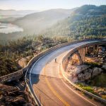
Driving Sonora Pass
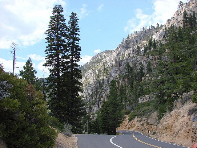
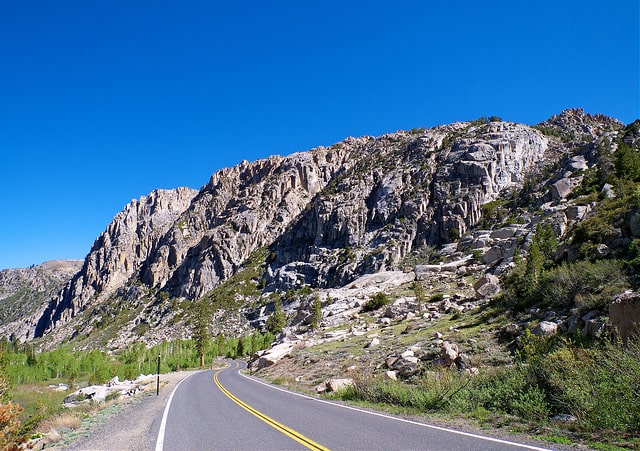
The road over Sonora Pass is extremely steep, with an average grade of 8%. However, there are sections with grades up to 26%, especially in the 15-mile (25-kilometer) stretch from Dardanelles to Sonora Pass. This elevation gain of 4,000 feet (1,200 meters) is significant, and drivers should be prepared for a challenging climb. The road is also narrow and winding in some sections, which can make it difficult to pass. The road may be closed in bad weather, so it is important to check conditions before traveling.
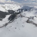
Sonora Pass Summit, Rebecca
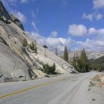
Sonora Pass landscape, Craig Howell
Sonora Pass offers spectacular views of the Sierra Nevada mountains, especially Sonora Peak, which is 11,490 feet (3,494 meters) high. The Pacific Crest Trail, a 2,650-mile (4,240-kilometer) long-distance hiking trail that runs from Mexico to Canada, crosses State Route 108 at Sonora Pass. Adjacent to Sonora Pass is a picnic area and parking lot, which serves as a rest stop or starting point for several hiking trails to nearby Sonora Peak, Wolf Creek Lake, and other destinations along the Pacific Crest Trail.
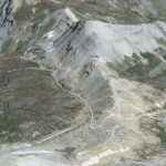
Sonora Pass on Google Maps
History
The first documented crossing of Sonora Pass was in 1852. Ranchers and merchants in the area used the pass to travel between Sonora and Columbia. These expeditions were not always successful, as the terrain was difficult.
With the discovery of silver and gold deposits and the development of mining in the eastern Sierra Nevada in the early 1860s, merchants in the counties on either side of the pass pushed for the development of a road that would improve transportation and commerce. Construction of a road over Sonora Pass began in 1863 and the road was in use by 1865.
In 1880, the California Railroad proposed building a narrow-gauge railroad over Sonora Pass with a line running from Emeryville to Stockton. The railroad was never built.
Photo credit: Bodey Marcoccia | Spanish version: Puerto de Montaña Sonora Pass, una Ruta Épica a Través de Yosemite