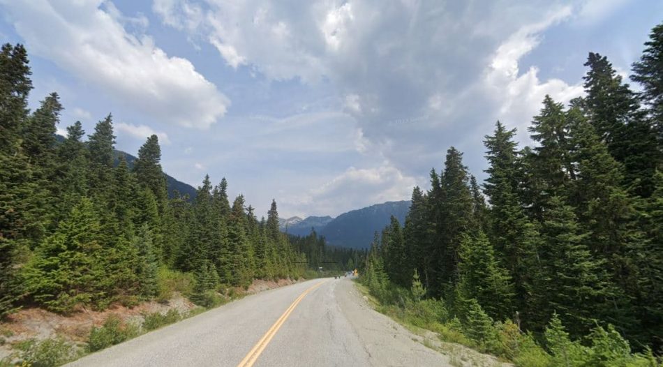
Located in the rugged Lillooet Ranges of the majestic Coast Mountains in British Columbia, Cayoosh Pass is a breathtaking mountain pass known for its natural beauty and incredible views. Cayoosh Pass sits at an elevation of 1,275 meters (4,183 feet) and marks the boundary between the Cayoosh Range and the Pemberton Valley. It forms a natural passageway between Lillooet and Pemberton on BC Highway 99, also called the Duffey Lake Road.
- Location: British Columbia, Canada
- Elevation: 1,275 meters (4,183 feet)
- Mountain Range: Pacific Ranges
- Coordinates: 50°22′18″N 122°29′32″W
Lillooet and St’at’imc people have used the area around the pass for centuries. In the 1860s, Sapper James Duffey of the Royal Engineers became the first non-indigenous person to traverse the pass when exploring an alternate route for the historic Douglas Road.
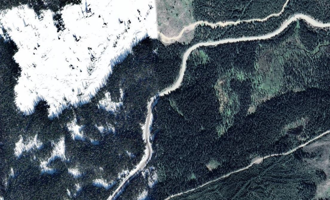
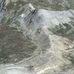
Cayoosh Pass aerial view
Things to Do and See
- Driving the Scenic Duffey Lake Road: The drive along this highway through Cayoosh Pass offers breathtaking mountain views, lush forests, and the pristine Duffey Lake.
- Hiking: Hikers can access trails like the Cayoosh Mountain Trail for challenging ascents and panoramic vistas.
- Wildlife Watching: Observe eagles, deer, bears, and other wildlife in their natural habitat.
- Camping: Campgrounds near the pass offer opportunities for an overnight adventure.

Duffey Lake
Important Notes
- Be aware of steep grades and potential avalanche zones during winter.
- Road conditions can be challenging in some seasons, so check the weather forecast and drive carefully.
Cayoosh Pass Road in Google Maps

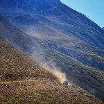
Cayoosh creek just runs fraser river