(2 votes, average: 4.00 out of 5)
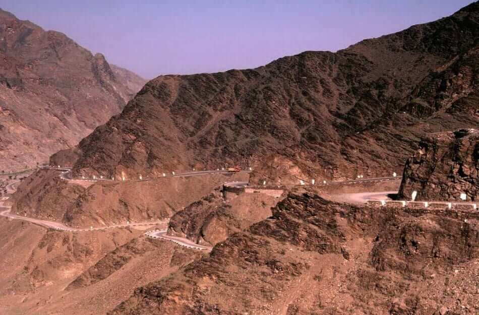
The Khyber Pass is a mountain pass with an elevation of 1,070 meters ( that crosses the Safed Koh mountain range in Pakistan. The pass connects the Peshawar Valley with the town of Landi Kotal. It is the most important and northernmost border crossing between Pakistan and Afghanistan.
| Country | Pakistan |
| Location | Between Landi Kotal and Jamrud |
| Elevation | 1,070 m (3,510 ft) |
| Range | White Mountains |
| Coordinates | 34.07570°N 71.20394°E |
Historically, it has been an important trade route between Central Asia and South Asia, being part of the Silk Road. And for centuries, it has been a strategic military location. The pass is about 30 kilometers, part of the Asian Highway AH1 (a continental road that crosses all of Asia from east to west), and it ends 5 kilometers from Afghanistan. The British writer Rudyard Kipling described the pass as “a sword cut through the mountains”.
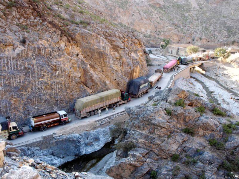
Heavy traffic caravan on the Khyber pass
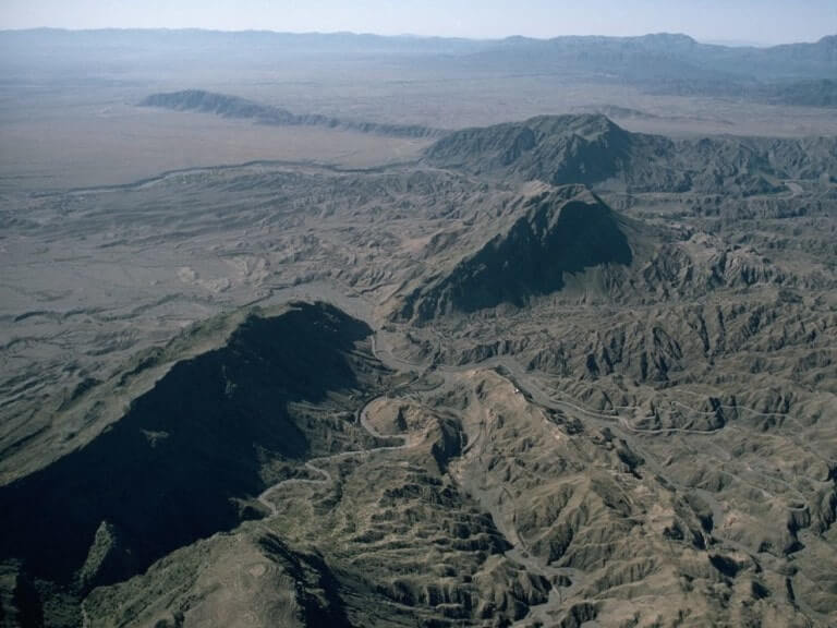
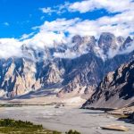
Safēd Kōh mountain range, crossed by the Khyber Pass
History
Throughout Khyber, Persians, Greeks, Mongols, Afghans, and the British have passed, for whom it was a key point in controlling the Afghan border. Some theories suggest that the migration of the Indo-Aryans to India was through the Khyber Pass. Invasions of the area recorded through Khyber begin with the conquests of Darius I and Alexander the Great and also include the subsequent Muslim invasions of South Asia, culminating in the establishment of the Mughal Empire from 1526.
British invasion
More recently, the British invaded Afghanistan from India, using the Khyber Pass. George Molesworth, a member of the British force in 1919, said: “Every stone in the Khyber has been soaked in blood”. Afghan chiefs and a British political officer posed at the Jamrud fortress at the mouth of the Khyber Pass in 1878. North of the Khyber Pass is the Mullagori tribe. To the south is Afridi Tirah, while the inhabitants of villages in the pass itself are Afridi clans. Throughout the centuries, the Afghan Afridis and Shinwaris have considered the pass as their own preserve and charged travelers a fee for its use. Since this has long been their main source of income, Shinwari resistance to authority has often been fierce.
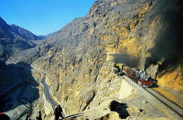
Khyber railway, Peter James
World War I
For strategic reasons, after World War I, the British built a highly engineered railway through the Khyber. The Khyber Pass Railway from Jamrud, which reaches the Afghan border near Landi Kotal, was inaugurated in 1925.
Hippie trail
Khyber became widely known to thousands of Westerners and Japanese who traveled it during the days of the Hippie trail, traveling both by bus and by car from Kabul to the Afghan border. At the Pakistani border post, they were advised not to stray from the road, as the area was dangerous even back then.
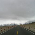
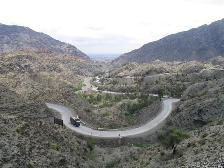
Driving through the Khyber Pass
Its condition and accessibility can be subject to various factors, including geopolitical situations and security concerns. Given the geopolitical complexities and occasional security issues in the region, it is crucial to check the current travel advisories, consult with local authorities, and stay informed about the prevailing conditions before planning any travel through the Khyber Pass. Security situations can change, and it’s important to ensure that it is safe to cross the pass by car.
- Security Situation: The region has experienced security challenges in the past. Check the latest security updates and travel advisories from official sources.
- Travel Restrictions: Be aware of any travel restrictions or special permits required to enter certain areas, especially border regions.
- Local Guidance: Seek advice from local authorities, travel agencies, or individuals with recent experience in the area for up-to-date information.
- Documentation: Ensure you have all the necessary documentation for border crossings, and be aware of any specific requirements for international travel.
- Transportation: Verify the condition of the roads and accessibility for your mode of transportation. Roads in mountainous regions can be challenging.
- Weather Conditions: Consider the weather conditions, as mountainous areas can experience changes in weather that may affect road conditions.
Please note that the situation can evolve, and it’s advisable to consult with reliable sources for the most current information before planning any travel through the Khyber Pass. Always prioritize safety and follow any official guidance provided by local authorities.
Khyber Pass in Google Maps
Versión en español: Paso Jaiber