(2 votes, average: 4.50 out of 5)
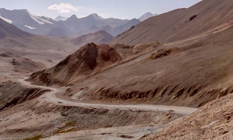
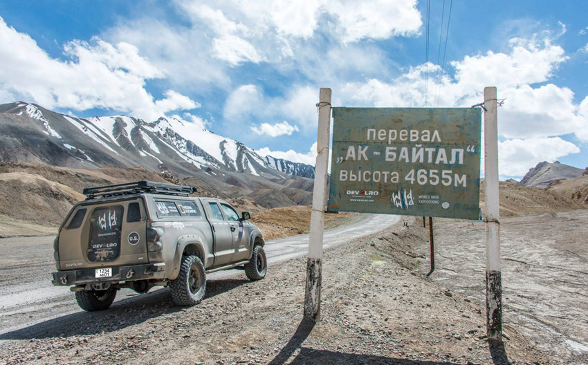
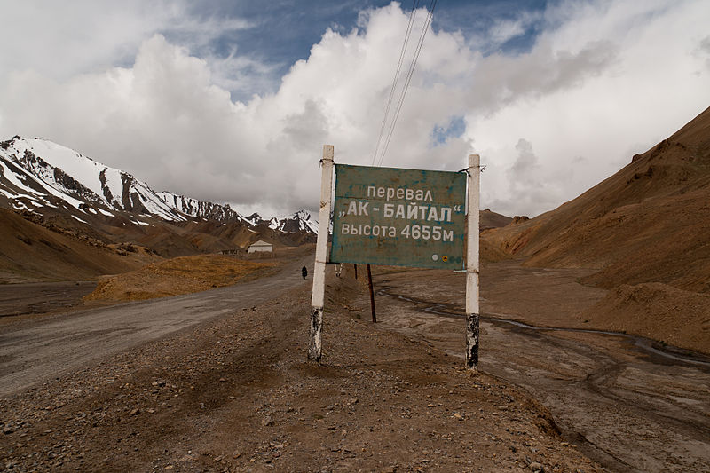
The Ak-Baital, also known as Ak-Baital Pass, is a mountain pass at 15.000 feet (4.500 meters) located in Central Asia, particularly in Tajikistan. It is the highest mountain pass in the former Soviet Union and the highest point at the Pamir highway, also known as the M41.
| Name | Ak-Baital Pass |
|---|---|
| Country |  Tayikistán Tayikistán |
| Height | 15.000 feet (4.500 meters) |
| Mountain Range | Pamir |
| Route | Pamir Highway |
| Coordinates | 38° 34'0 "N y 73° 34'60" |
Highest point in the Ak Baital Pass Kondephy
The Ak-Baital Pass is located in the eastern part of Tajikistan, 400 km east of the capital Dushanbe. This mountain pass is located in the middle of the Pamir mountain range, a very deserted and sparsely inhabited area. The closest city to the south is Murghab, about 70 kilometers away; to the north, and after passing Karakul Lake (at 3,900 meters), the first settlement is Sary-Tash, 160 kilometers away.
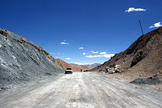
It is usual to find just few people on this road: some local people and some crazy adventurer who is traveling on the Carretera del Pamir by bicycle, motorcycle or off-road. The road is in poor condition, as you can see in the photos, and it is not paved. Ak-Baital is located just over 100 kilometers from the Kyrgyzstan border and the Kyzyl-Art Pass that crosses it, at 14.225 feet (4.336 meters) above sea level.
Weather
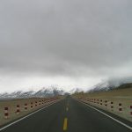
The climate in the Ak-Baital Pass is cold and dry. The warmest month is July, with daytime highs between 11°-13° C, and the coldest January, with a minimun low that usually reach -25° C. Rainfall is low in the area and November is the rainiest month.